
Behind the scenes · Site & Language
A Kai Tak simulator that runs in your browser
No download: one page, real Hong Kong open data and the 1998 Runway 13 approach.
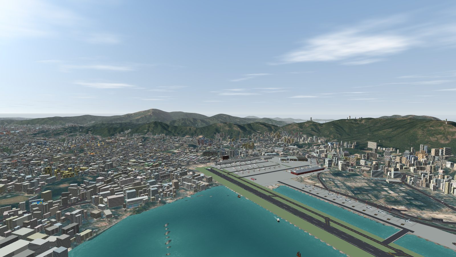
Fly Kai Tak is a flight simulator of the 1998 Runway 13 IGS approach into Hong Kong Kai Tak, and it runs in a web browser at flykaitak.com. There is nothing to download or install. This post explains what that means and how it is put together.
One page, no build step
The sim is a single index.html using Three.js, with no build step. The map data is prepared ahead of time by scripts in the repository, and the page loads it when you start. Because the map data is fetched, you can serve the folder with any static web server to run your own copy.
Real Hong Kong as the map
The aerial imagery, coastline and about 24,000 building footprints come from the Hong Kong Lands Department's open data. The roads are the Transport Department's road network with every road built after 1998 taken out. Terrain comes from SRTM elevation data, with the building bumps filtered out.
Made for a browser
- Phone and desktop: there are touch, mouse and keyboard controls.
- English and Cantonese: the home screen and the blog both have an EN / 粵 button.
- High scores: kept in your browser, with an optional shared table.
- Share a landing: post a report card, or save a replay video as an MP4 made right in the browser.
Free and paid: the four airliners, all the modes and Plane Spotter are free. Concorde and the An-225 are US$7 each.
Keep reading
Fly Kai Tak 係一個模擬 1998 年香港啟德 13 跑道 IGS 進場嘅飛行模擬器,喺瀏覽器入面就玩到,網址係 flykaitak.com。唔使下載,唔使安裝。呢篇文講吓即係點,同埋佢係點樣砌出嚟。
一個頁面,冇建置步驟
模擬器係一個用 Three.js 寫嘅 index.html,冇建置步驟。地圖數據由倉庫入面嘅腳本預先處理,開始嗰陣頁面先至載入。因為地圖數據係喺網上讀取,所以你可以用任何靜態網頁伺服器跑自己一份。
用真實香港做地圖
航空相片、海岸線同大約 24,000 幢樓宇嘅平面圖,來自香港地政總署嘅開放數據。道路用運輸署嘅道路網絡,並已經去除 1998 年之後建成嘅道路。地形用 SRTM 高度數據,並已濾走樓宇嘅凸起。
為瀏覽器而設
- 手機同電腦:有觸控、滑鼠同鍵盤操控。
- 中英文:主畫面同網誌都有 EN / 粵 按鈕。
- 高分榜:記錄喺你嘅瀏覽器,另有可選嘅共用榜單。
- 分享降落:可以貼成績卡,或者喺瀏覽器入面直接儲存 MP4 重播影片。
免費同付費:四款客機、所有模式同飛機迷模式都免費。協和式同 An-225 每款 7 美元。
延伸閱讀
More from the blog
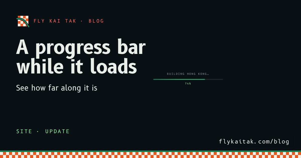
A progress bar while the sim loads
Fly Kai Tak now shows a loading progress bar and percentage while the map downloads and the city is built.
Read the post →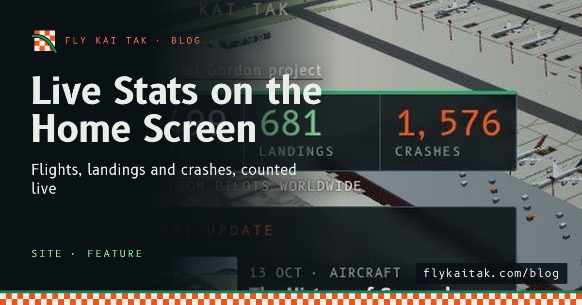
Live Stats on the Home Screen
The Fly Kai Tak home screen now shows live totals of flights, landings and crashes, animated as the page loads and linked to the stats page.
Read the post →